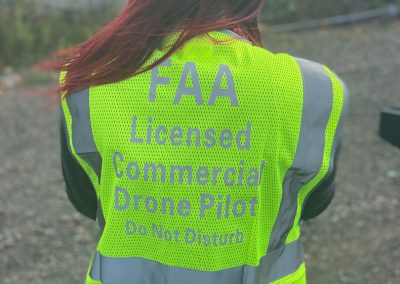
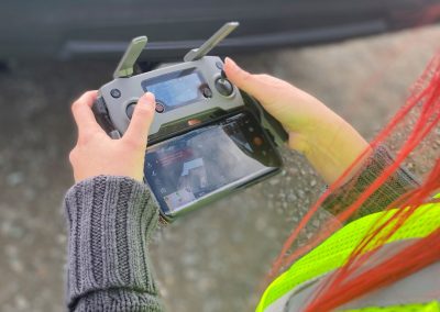
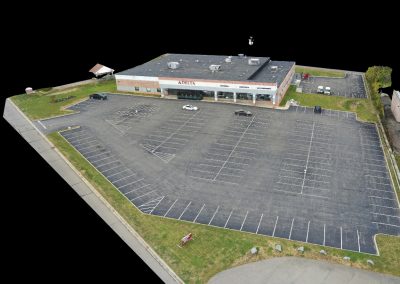
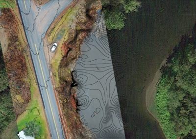
Delta provides Unmanned Aerial Vehicle (UAV or Drone) services to support project design and construction phase process. The Drone technology allows us to build aerial maps and models using flight automation and data capture.
Drone photogrammetry is efficient, cost-effective, and can readily access difficult locations and cover expansive sites. It can be easily repeated over time to monitor changes in the landscape. Flight automation and data capture creates 3D data sets by combining the drone photogrammetry with aerial LiDAR and 3D laser scanning.
Drone technology is an excellent tool for the following applications:
- Civil Site projects
- Solar Panel Inspection
- Infra-red image capturing
- 3D modeling
- Survey mapping
- Construction inspection monitoring